Four years ago I took the image above and I wrote in my journal, "This morning I went on a solitary journey into the forest here in our city. Mother Nature confirmed that her house is in order with the presence of forest wild musk smell, tall lush and green pine trees, flying butterflies, green luscious mountain ferns, wild red berries, clear water creek and other abundant wild flora. From time to time, we have to get out from the steel and concrete jungle and get our lungs rejuvenated by the cool and clean forest air. Let me commune back with Nature."
Let me make an attempt to write Where I Live .. a blog series... here's part I
Disclaimer
Wherever possible, estimates have been computed using standardized categories and methods in order to enhance cross-national comparability. This approach may result in some cases in differences between the estimates presented here and the official national statistics prepared and endorsed by the individual WHO Member States. These differences between WHO and national statistics may be larger for countries with small cities and settlements which may not be fully represented by the resolution of the WHO model. This may be compounded for isolated regions where air pollution is primarily from local sources and is experienced at very local levels. It is important to stress that these estimates are also subject to considerable uncertainty, especially for countries with weak statistical information systems.
The boundaries and names were shown and the designations used on this map do not imply the expression of any opinion whatsoever on the part of the World Health Organization concerning the legal status of any country, territory, city or area or of its authorities, or concerning the delimitation of its frontiers or boundaries. Dotted and dashed lines on maps represent approximate border lines for which there may not yet be full agreement. Data source: World Health Organization WHO 2016. All rights reserved.
Personally, I DGAF about what the World Health Organization (WHO) 2016 pollution report regarding Baguio City as the numbers don't really sync with reality here in our city. I would probably be wearing an oxygen mask right now and breathing through a canister of clean air as I write this blog.

Here's an image of fallen pine needles during a foggy morning. It's part of my Fallen photo album.
Here's a view of a Baguio City forest just right after the airport runway expires.
Where I live is equine fauna is a local livelihood, a photographer's past time, etc.,
Here's a link (below) to my blog on Baguio City horses:
The Simplest Ways to Make the Best of Baguio City Horses
BAGUIO CITY (Where I Live)
Baguio City is a runner's haven.
I remember in my college days how I trained like crazy to compete for long distance marathon. Baguio City is a plateau which is 1500 meters high from the sea, with around 5000 feet average elevation. Massive mountain ranges of the Cordilleras protects the surroundings of Baguio. Baguio geography is characterized by its sloping and rough terrain of which approximately 49 square kilometers is Highly Urbanized City (HUC). Low altitude is approximately 4,000 feet above sea level or lower. As elite athletes acclimate to high altitude we refer to “high altitude” in sports medicine, we generally mean 7,000 to 8,000 feet above sea level or higher. So training in Baguio in a middling level altitude wherein runners acquire more red blood cells which allow their blood to carry more oxygen. When one compete at lower altitudes, the runner gets a natural boost to the muscles when additional oxygen is available.
Where I live... you will also find the
Baguio Century Totem
As of writing December 7, 2019, the Baguio Century Totem does not exist anymore.
We call caterpillars "budoh-budoh" in Ilocano dialect which are endemic species and these critters are present during the start of the rainy/wet season (June- October). A caterpillar doesn't just grow into a butterfly but must undergo metamorphosis, and a cocoon is where a caterpillar risks it all from the stage of dormancy to potency and its final transformation of beauty.
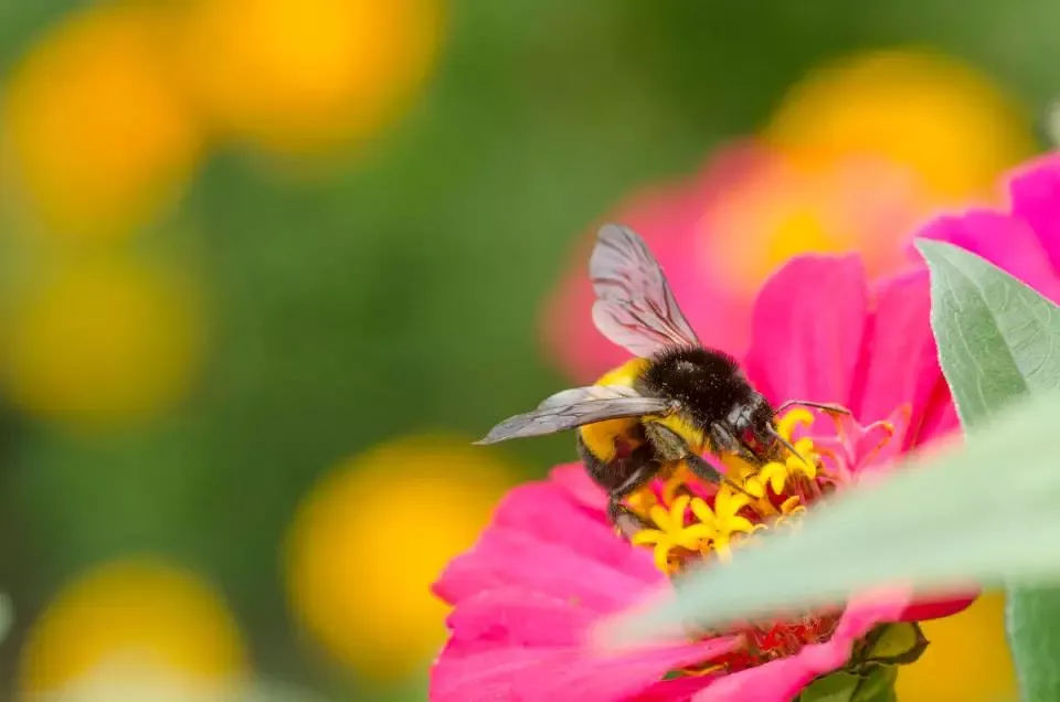
From time to time I get into taking pictures of butterflies.
Where I live Mother Nature's FLORA is queen supreme.
Sunflowers grow along the major travel routes here especially along the highways of Halsema, Quirino/Naguilian Highway, Marcos Highway and Kennon Road.
Check out my blog on Baguio City Flowers with the link below:
BAGUIO CITY WEATHER
Baguio City ... during the months covering November to February (we call it - BRRR months). Baguio features a subtropical highland climate that closely borders a tropical monsoon climate. The city is known for its mild climate owing to its high elevation. The temperature in the city is usually about 7-8 degrees Celsius lower than the temperature in the lowland area. Average temperature ranges from 15 to 23 °C (59 to 73 °F) with the lowest temperatures between November and February. The lowest recorded temperature was 6.3 °C (43.3 °F) on January 18, 1961 and in contrast, the all-time high of 30.4 °C (86.7 °F) was recorded on March 15, 1988 during the 1988 El Niño season. The temperature seldom exceeds 26 °C (79 °F) even during the warmest part of the year.
Here's a weather forecast of what it's like where I live.
North Luzon weather outlook and Weather outlook for July 3-10, 2017 by PAG-ASA
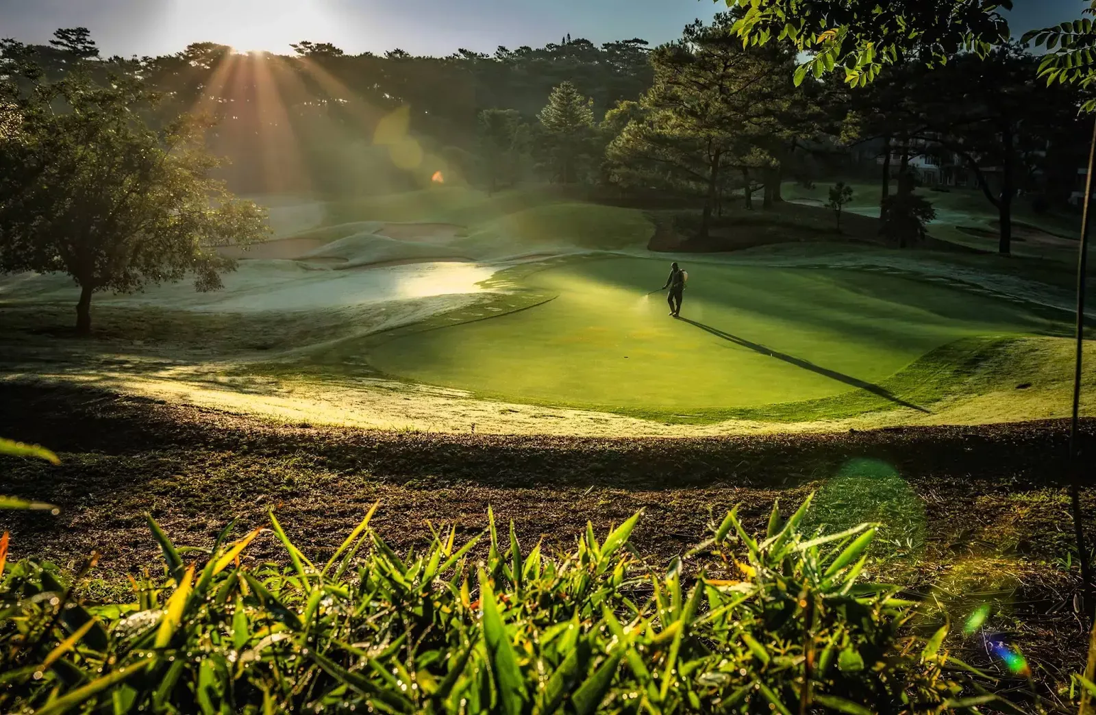
It's usually foggy in the early morning and also in the afternoon and is accompanied by heavy rain. Lover's of the sport of golf continue with their game whilst it's foggy/raining. I live near golf club areas.
There are also equally good days where the weather is just bright, warm and sunny.
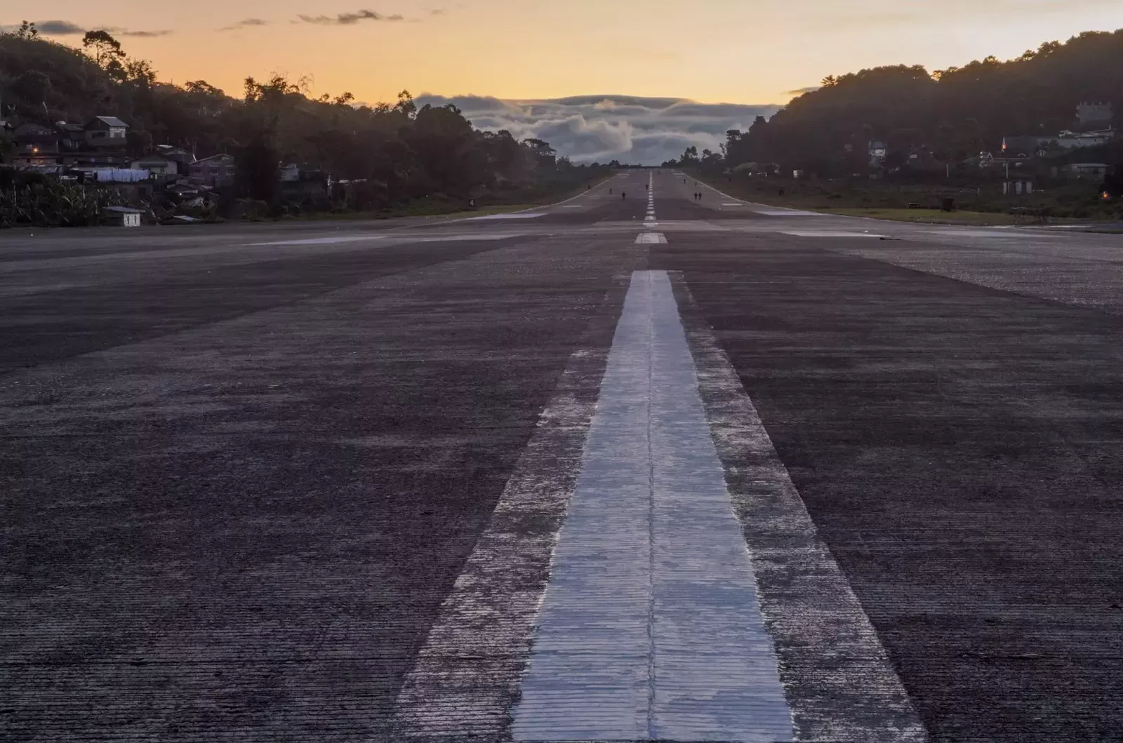
Loakan Airport is Baguio City's only airport which started its operations in 1937 however, in July 2011, after 74 years of active commercial/private/military, etc., all aviation flights came to a close. As of writing, the landing strip is being used by locals for bicycle riding, calisthenics/exercises, jogging, etc.,
On a positive note, last 23 June 2017 the Regional Development Council-Cordillera Administrative Region (RDC-CAR) in its first joint meeting with the Regional Peace and Order Council (RPOC) presided by Baguio City Honorable Mayor, Mauricio Domogan in a resolution urgently requested the Civil Aviation Authority of the Philippines (CAAP) to conduct an Aeronautic Study for the Baguio City Airport "Loakan Airport" as one of its first step towards re-opening. The operationalization of the Baguio City Airport will help facilitate access to Baguio City serving as the gateway to speedy travel and boost eco-cultural tourism in the Cordillera Administrative Region.
Where I live the biggest mall was formally opened to the public on November 21, 2003. The infrastructure is aesthetically pleasing but was not designed as typhoon proof and does not offer a centralized mall air-conditioning system. Only selected mall areas have their own air-conditioning units like the movie houses.
POPULATION
The most sparsely populated region in 2015 is the Cordillera Administrative Region (CAR), with 87 persons per square kilometer where Apayao is the most sparsely populated province with a population density of 26 persons per square kilometer. Next is Abra with 57 residents per square kilometer of land, Mountain Province and Kalinga, each with 65 persons per square kilometer. However, where I live (Baguio City) is pegged with 6,005 persons per square kilometer which classified as one most densely populated Highly Urbanized City (HUC) outside the National Capital Region (NCR).
Baguio City posted a Population Growth Rate (PGR) of 1.54 percent (based on 2,000, 2010, and 2015 Censuses) and Baguio City, the only highly urbanized city in the Cordillera Administrative Region (CAR) which posted a population of 345 thousand.
Til next blog ... Part II ... Thanks much for droppin' by 😎


Post Comment
Post a Comment